Inland Lakes Chemistry Sudbury area Reference Lakes
Water chemistry data with geographic coordinates from lakes primarily in the Sudbury area of Ontario since 1981. Several lakes spread throughout the Sudbury acid rain damage zone had a natural buffering capacity protecting them from experiencing a severe drop in lake pH. Twenty-two of these lakes were selected to act as a local non-acidified reference set, for intermittent monitoring of baseline conditions in the region.
Water chemistry sampling included several key monitoring components, including:
- Acidity: pH, alkalinity, sulphate
- Nutrients
- Colour, clarity and organic matter
- Metals and other ions
Use the data API
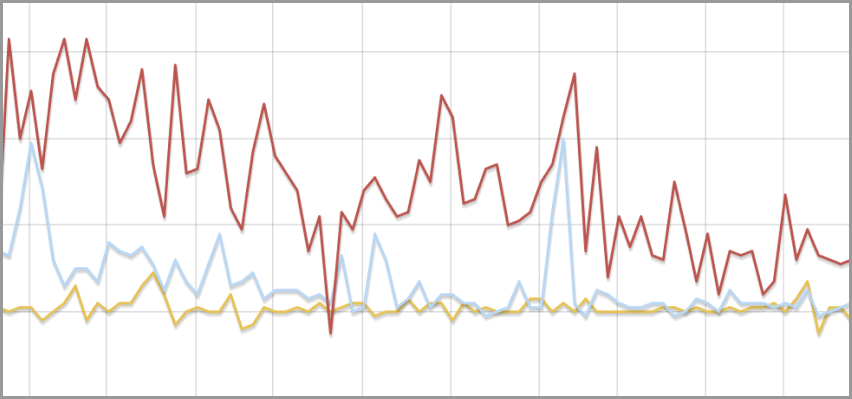
Visualize data
Use the Data Visualizer below to display this dataset as a table, graph or map.
Report an issue with this data
Submit a report if you are experiencing issues with the data resources in this dataset.
Additional information
- Last updated
- January 4, 2023
- Created
- January 4, 2023
- Format
- text/csv
- File size
- 393.8 KiB
- Licence
- Open Government Licence – Ontario
- Name
- Inland Lakes Chemistry Sudbury area Reference Lakes
- Type
- Data
- Language
- English
- Data made public date
- January 4, 2023
- Data range start
- January 1, 1981
- Data range end
- December 31, 2019
Help us improve the Data Catalogue
Provide feedback about our data and how you’re using it.